OSMKIT


Download
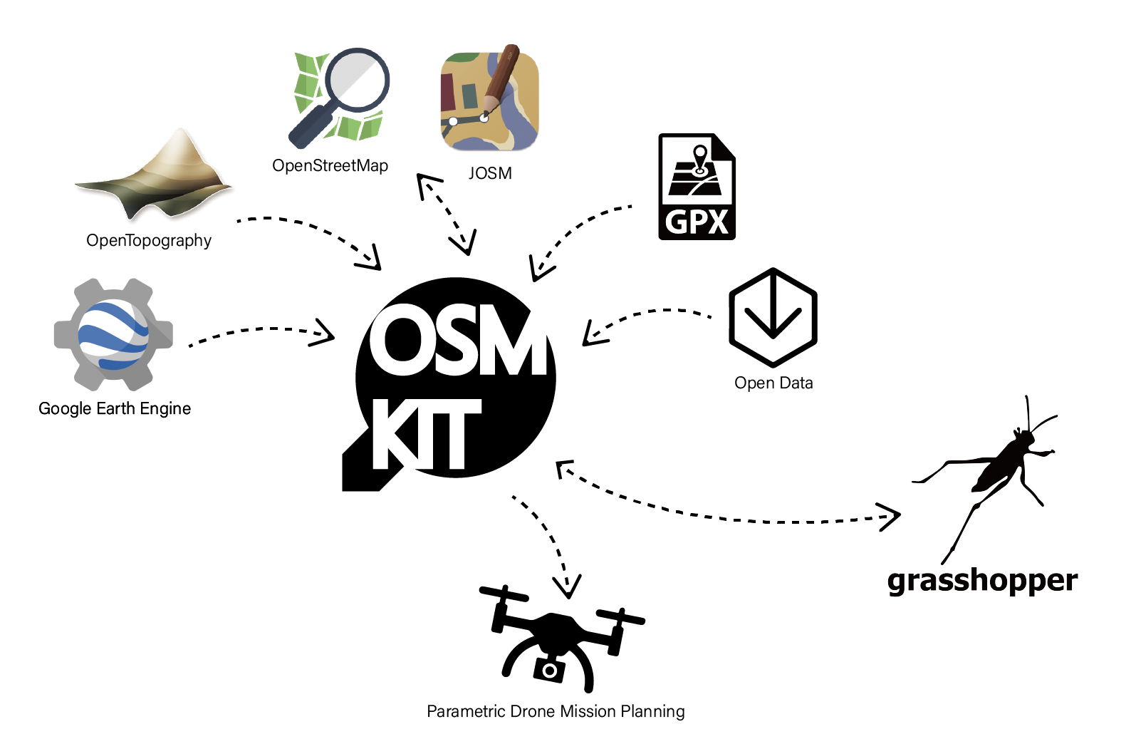
OSMKIT is a grasshopper plugin developed by Chi-Li Cheng. It can facilitate integrating several geospatial data into parametric design process.
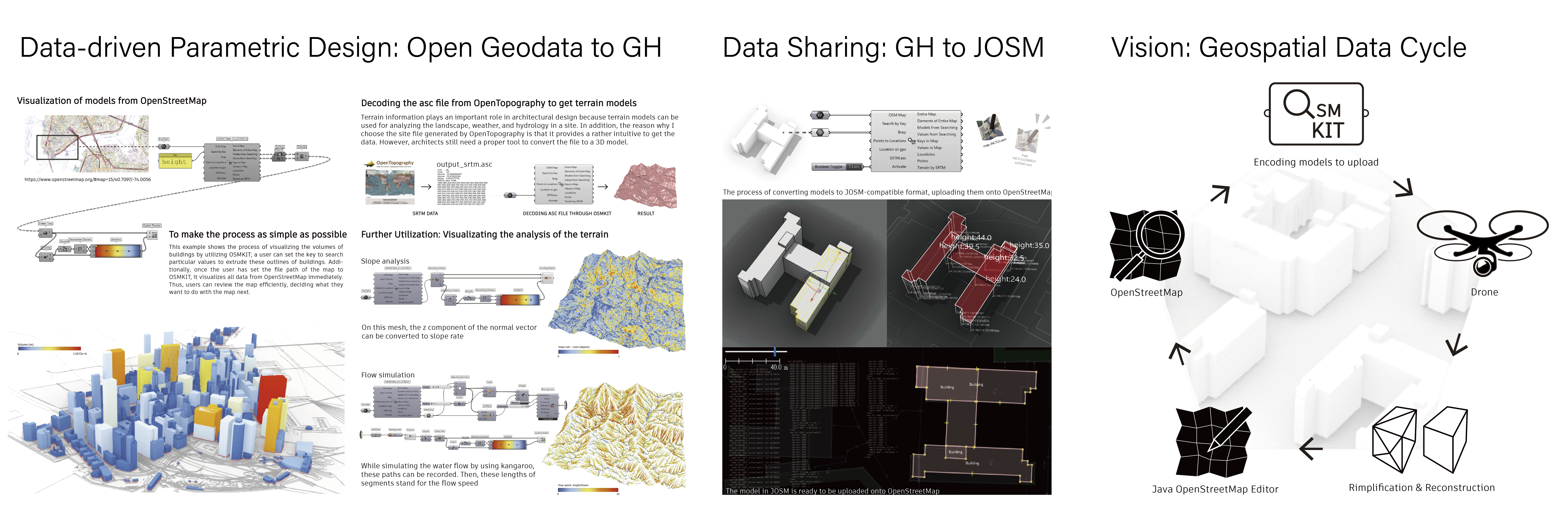
It offers not only the function to get access to must user-friendly open geodata platform such as openstreetmap, gpx data, but also the fuction to facilitate converting rhino Brep model to geodata like building model of openstreetmap format. Designers and artists can be contributer since the process of sharing data and gaining data is simplified.
Consequently, the relations among data user(designers or artists) and open data platfom will be consolidated; the ecosystem of open geodata will be more conducive for designers
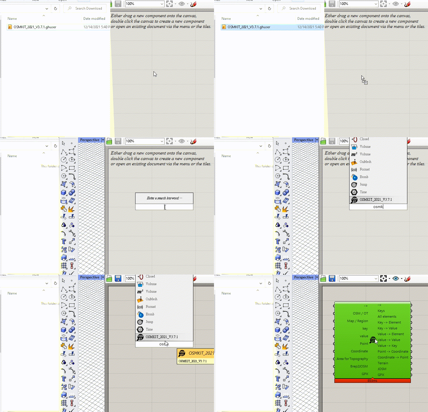
How to install?
Well, it's quite simple; you just need to drag it into the canvas of grasshopper

Example
1. Geographic coordinate(lat,lon) to Map(polyline)

Once the coordinate is set, OSMKIT will view the origin in rhino as the location of the set coordinate

2. Collage of Maps

3. Generating Building Volume

4. Using Value to Derive Models

5. Conversion between Geographic Coordinate and Rhino Coordinate

The function can be utilized for Drone Mission Planning

6. OpenTopography SRTM

7. Rhino Brep to JOSM (for sharing models)

8. Gpx to Rhino Points
